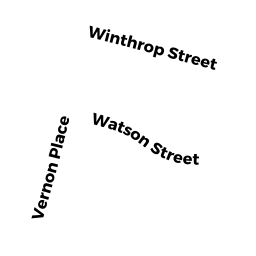
39 WINTHROP ST
Owner Information
MORRISON, SARA M &
39 WINTHROP ST
SEEKONK, MA 02771


Property Details
39 WINTHROP ST is classified as a Single Family Residential (Rn).
The primary structure on this property was built in 1960. There are 1,334ft2 of built area within this property. There is 1,334ft2 of residential/living space within this property. This property is listed as having 5 rooms.
39 WINTHROP ST is valued at $309,000. The land is valued at $108,100 and the structures are valued at $200,900. There is an additional valuation of $590 on this property.
This property is in Zone R1. Confirm with local Zoning Board authorities to ensure there are no overlays or other easements on this property.
The most recent deed for 39 WINTHROP ST is recorded at the local registrar in Book 24089, Page 136. 39 WINTHROP ST was last sold on Friday, October 27, 2017 for $315,000.
Assessment data from fiscal year 2022.
Flood Data
According to the FEMA National Flood Hazard Layer, this property does not appear to be in a flood zone. It may also be in an area not yet reviewed. Nonetheless, confirm this information prior to taking any action.
To view the flood hazards around this property, create a FEMA "Firmette" Map of the area around 39 WINTHROP ST.
Broadband Internet Providers
| Provider | Type | Bandwidth (mbps) | |
|---|---|---|---|
| Comcast | Cable | 1000 | 35 |
| Viasat Inc | Satellite | 100 | 3 |
| HughesNet | Satellite | 25 | 3 |
| VSAT Systems, LLC. | Satellite | 2 | 1 |
| Verizon New England Inc. | DSL | 5 | 0 |
| GCI Communication Corp. | Satellite | 0 | 0 |
Broadband service provider data from December 2020.
Adjacent Properties
- 31 WINTHROP ST
Single Family Residential owned by JENKINS, RICHARD II &SLAIDING,ASHLEY(JT) - 28 WATSON ST
Single Family Residential owned by SOUTO, DAVID & KARLENE (TBYE) - 47 WINTHROP ST
Single Family Residential owned by MIGUEL, SHAWN MICHAEL & LAURA KATHERINE (TBYE) - 36 WATSON ST
Single Family Residential owned by HICKS, JAMES R SR & ARLENE M